
Midland Neighbors Block Records
Public sources describe a Midland block in layers. Midland City GIS supplies the visual parcel and subdivision context. Midland MCAD supplies tax-account and property-location clues for one parcel at a time. The Midland County Clerk's index can identify recorded instruments connected with adjacent legal parcels. Midland permit and code systems add activity at an address. Each source has a different purpose, so it is important not to treat a map, tax account, or recorded party as proof that a particular person is currently present.
| Source | What it shows about a block | Access |
|---|---|---|
| Midland City GIS parcel and subdivision layers | Midland parcel shapes, streets, named subdivisions, zoning, city limits, utilities, floodplain, and nearby features | Midland public map and data page; map mechanics are not certified evidence |
| Midland Central Appraisal District | Midland tax-account, property-location, and owner-mailing-address search clues | Midland public search; no complete block export was observed |
| Midland County Clerk Official Records | Indexed parties and Midland recorded instruments for a legal parcel | Midland public index; image and order details may be gated |
| Permit Midland and Midland Code Enforcement | Midland address-linked permits, plans, inspections, code cases, requests, and licenses | Public Midland address or keyword search and city channels |
| Texas HOA certificates | Named Midland association, city, ZIP, and management-certificate link | Midland County, city, and ZIP search; no roster is identified |
The Midland voter portal route is more limited still. It can answer an allowed individual registration question, but it is not a casual block roster. Midland historical directories may add a time-specific street association through archive or library access, not a present-day account of who lives nearby.
Midland Neighbors Need Parcel Context
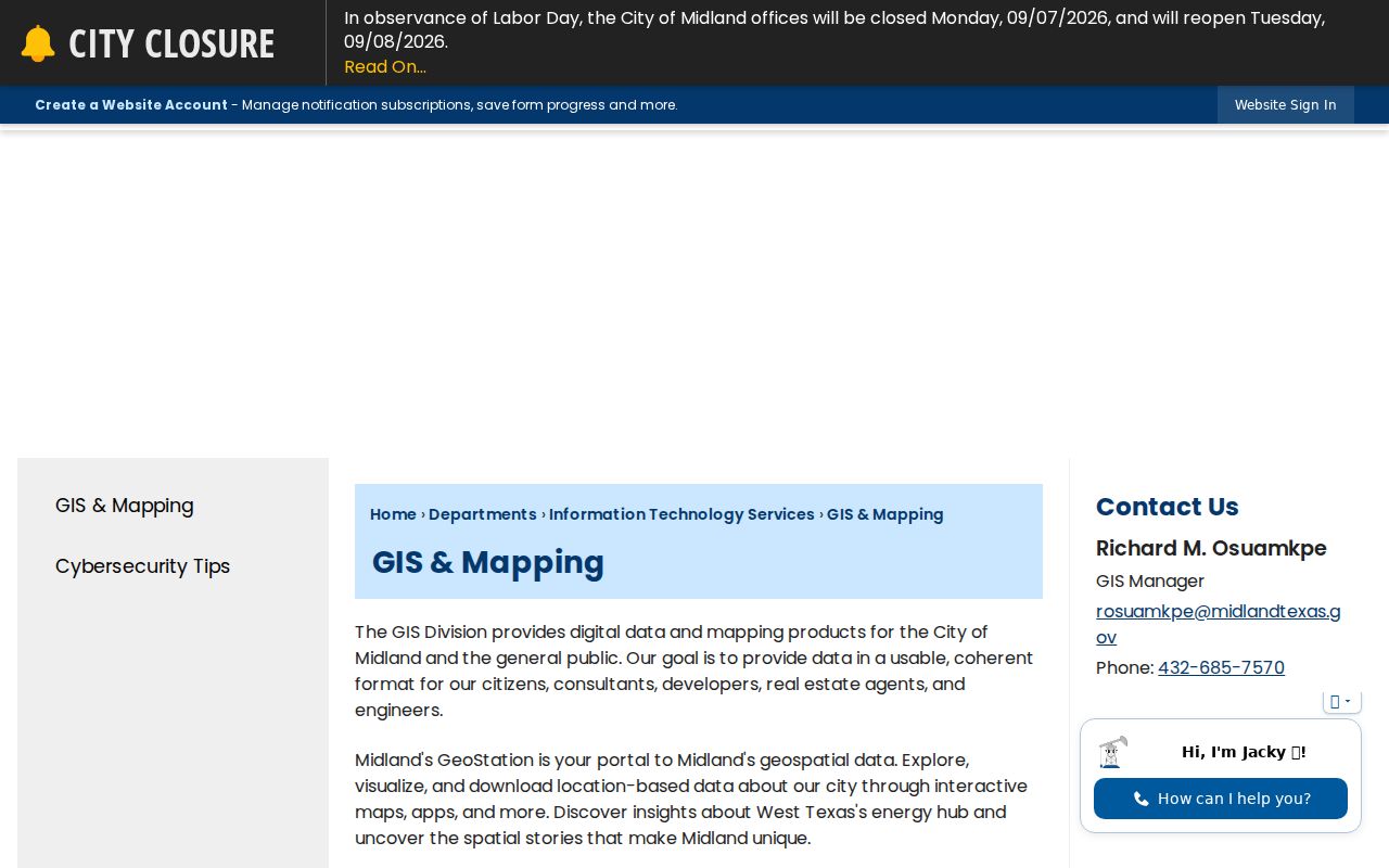
The City of Midland GIS page describes Midland parcel, subdivision, zoning, street, city-limit, utility, and floodplain layers. Use it to see the target in relation to adjacent parcel shapes. The inspection did not document a public buffer, measure, or adjacent-parcel selection tool, and it did not verify an owner card after a parcel click. For that reason, Midland map browsing must be followed by a separate MCAD or Midland County Clerk search for each nearby address or legal parcel.
MCAD's field distinction is useful for Midland searches. Property location is the situs address, meaning the physical Midland parcel location. Owner address is a mailing clue. The tax search help suggests entering only a street number and street name, without the street type or direction, such as 100 Weatherford. A result is a Midland tax-account clue, not a statement that a particular person currently lives at the address.
Note: Save the map date, address spelling, and parcel identifier when shown, because the next record source may use a different label.
Map Midland Neighbors by Parcel
A Midland block check should move from geography to individual records. The City warns that GIS data is not a primary permitting or legal-boundary source, so the map is the discovery layer. The same Midland address may have a postal label, a subdivision label, a tax situs string, and a legal description. Preserve each one rather than forcing them to match.
The Midland GIS mapping resources provide the parcel-context source for this block workflow.
After the map step, search each candidate address independently instead of relying on a single map click. That preserves the source boundary between geographic context and the record that names a recorded party or tax account.
- Find the target address in the City GIS map and note adjoining parcel shapes, street labels, or parcel identifiers that the map displays.
- Run each nearby Midland address through MCAD's property-location search, keeping owner mailing address separate from the situs address.
- Use the Midland County Clerk's Official Records index with party, legal-description, lot or block, document-date, book or page, or document-number clues.
- Check Permit Midland for dated Midland address activity if it helps explain physical work or a city record, not a household.
For a complete named-street sequence rather than an immediate block check, use the Midland By Street directory. It follows the longer address-record chain without treating nearby parcels as a single resident list.
Midland Neighborhood Boundary Myth
Subdivision labels give a block useful local context. The City subdivision map includes Green Tree North, Vineyard Addition, Briarwood, Los Conchos Estates, Northgate, Fairmont Park, Midland Airpark, Midland Country Club, 349 Ranch Estates, Mockingbird Ridge, Pavilion Park, West End, Permian Estates, and Southern. These are map labels, not proof of a legal neighborhood boundary or an association connection for any particular parcel.
A postal ZIP also overlaps other labels. USPS identifies delivery geography, GIS provides municipal and layer context, MCAD records a property location for appraisal purposes, and a deed or plat supports a legal-boundary question. In Midland, the city subdivision names are descriptive map layers. If those labels differ, the difference can reflect delivery, annexation, subdivision, or situs-versus-mailing usage. It is not automatically an error.
Midland Neighbors Ownership Records
The Midland County Clerk advanced search is the legal-history layer for an adjacent parcel. It supports party, grantor, grantee, recorded-date, instrument-date, document-type, document-number, legal-description, book or volume and page, lot or block, and OCR-phrase searches. A Midland recorded deed may document a transaction or interest. A lien, affidavit, power of attorney, mineral lease, or judgment should be identified by its own record type.
Do not turn a recorded party into a current-neighbor claim. A grantee may be an owner or an interest holder, while an address can be a mailing address. The portal's online starting year, live image behavior, fees, result cap, and export details were not confirmed in the research. When a document matters, save the document number and seek the Clerk's copy or certification.
Midland HOA Certificate Clues
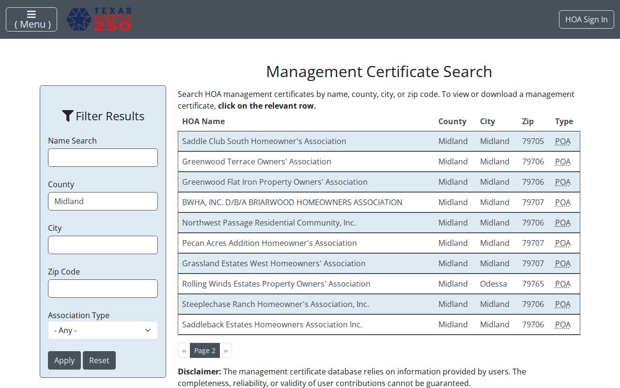
The state Texas HOA management-certificate search filtered to Midland County is a community layer, not a neighborhood directory. Its visible results include named communities, city and ZIP values, and certificate links. It does not establish that every parcel with a similar map label is covered by an association, and the inspected materials did not identify a resident or association roster.
The Midland County certificate search shows the state-maintained entry point for these limited community clues.
Use a certificate as a lead to the named association and then read its linked filing. It should not be used to infer a connection for an address without a verified parcel or governing-record link.
| Visible Midland County search results | What the result supports |
|---|---|
| Saddle Club South, Greenwood Terrace, Greenwood Flat Iron | Named certificate-search results, with city, ZIP, and certificate-link context |
| Briarwood/BWHA, Northwest Passage, Pecan Acres | Association-name leads requiring certificate review |
| Grassland Estates West, Steeplechase Ranch, Saddleback Estates | Additional named results, not a block or parcel boundary finding |
Midland Neighbors Address Activity
Permit Midland adds a different, date-stamped address layer. Its public-information search has an All-category control, keyword or address box, Exact Phrase option, Search, and Reset. It can search permits, plans, inspections, code cases, requests, and licenses. Registration is required for submission functions. The research did not confirm a public result schema, so treat any returned record as address activity with its own stated category and date.
Midland Code Enforcement accepts an address and the nature of a reported violation through phone, mail, in person, or SeeClickFix.
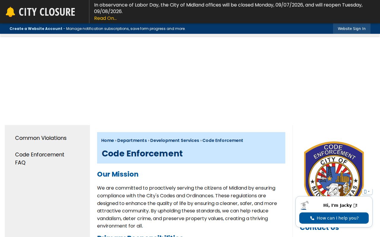
Code Enforcement also publishes monthly W.O.W. reports. A permit, inspection, request, or code item can help date physical or civic activity. It does not establish a person's presence at the property.
Midland Neighbors and Voter Privacy
The Texas My Voter Portal provides lookup routes by VUID, Texas driver-license number when supplied, or first and last name. Its permitted results can concern registration status, VUID, registration information, and polling locations. That is not a block-by-block resident list, and it cannot reveal how someone voted.
Texas confidentiality rules protect SSNs, Texas driver-license or personal-ID numbers, phone information from transcription or copying, and certain program addresses. The Secretary of State describes a DPS alternate address, a Government Code §552.1175 affidavit, Election Code §13.004 protections, and the Attorney General Address Confidentiality Program. A bulk voter file has an affidavit, deposit, and statutory use restrictions, so it is not a casual substitute for a block search.
Note: Do not use protected voter information or a suppressed address to try to locate a protected participant.
Midland Neighbors Official or Commercial
Official block sources identify their custodian, record type, and limits. A reader can distinguish a GIS layer from a tax account, a recorded instrument, or a permit record, then return to the office for confirmation. Commercial neighbor tools are a separate category. They can combine public records, marketing data, or contributed information, but their source dates, matching methods, accuracy, and opt-out handling vary.
| Question | Official record route | Commercial category |
|---|---|---|
| What parcel is adjacent? | GIS map, then MCAD or Clerk verification | May combine sources without showing the parcel basis |
| What transaction is recorded? | County Clerk index and a custodian copy | May omit date, document role, or image access |
| What is the community lead? | State HOA certificate search and linked filing | May blur a map label, delivery ZIP, and association claim |
For Midland neighbors, the value of the official route is the ability to check the underlying source again. Keep the source name, record date, address form, and document or account number with any result that needs confirmation.
Privacy Limits for Midland Neighbors
Not every fact connected to a Midland address is public or suitable for a directory. Recent vital material, confidential voter fields, confidential-program addresses, sealed court records, utility and delivery information, and private household details have different access rules. The Texas Data Privacy and Security Act gives Midland residents access, correction, deletion, and opt-out rights with covered private controllers. For a Midland official-record error, start with the custodian that created or holds the record.
Lawful use. Use Midland block records for personal, lawful research, property curiosity, community context, or record correction. Do not use results to stalk, harass, threaten, intimidate, or repeatedly contact anyone; Texas Penal Code chapter 42 addresses stalking and harassment.
For a Midland address question that has legal weight, request the relevant record from its custodian and state the precise parcel, date range, or document number. A public map or search result does not replace that confirmation.